Log in
All resources
Create a design
33 Free Images of 19th Century Maps Of Europe
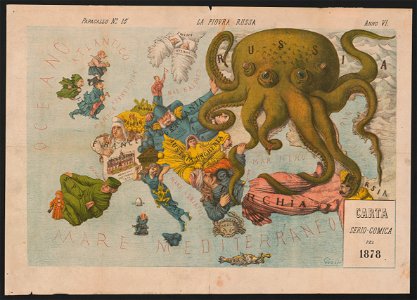
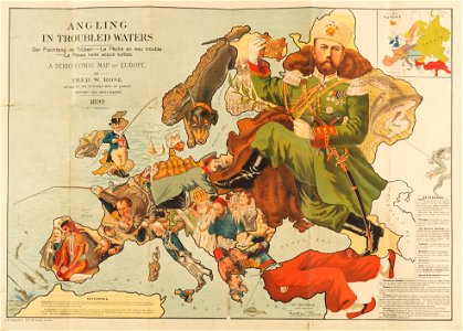
19th-century satirical maps
history
historical
old maps of europe
personifications of nations
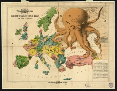
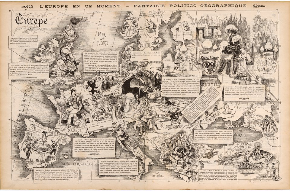
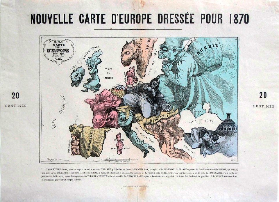
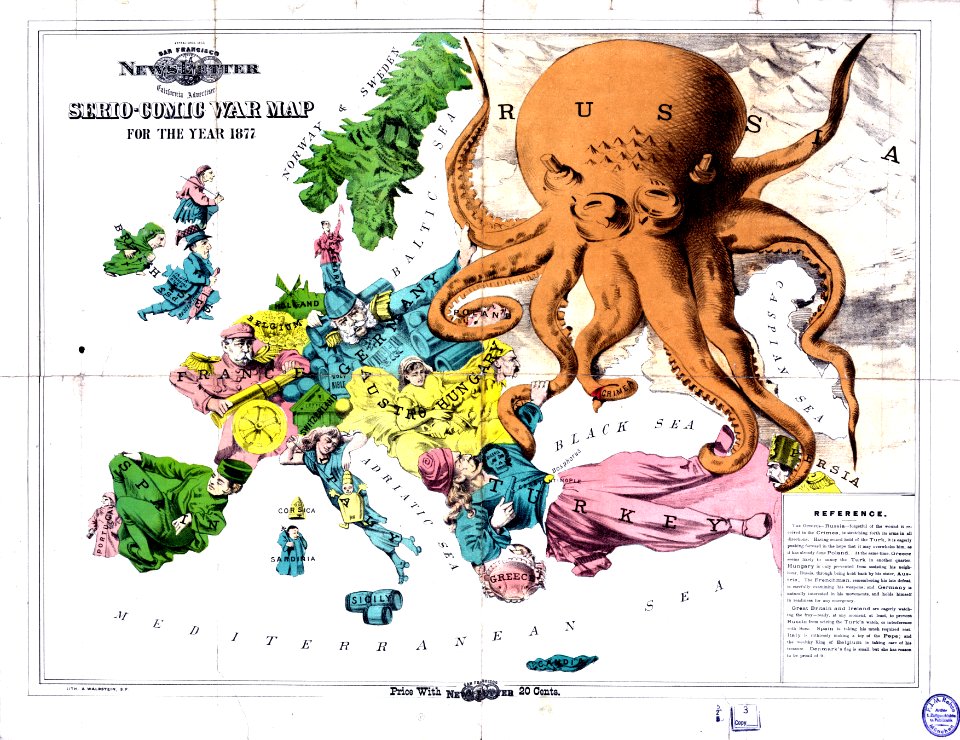
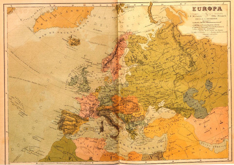
europe in the 1870s
fred. w. rose
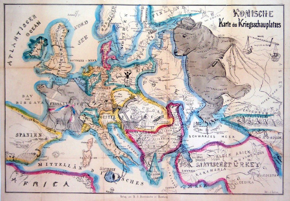
caricatures of russia
travel
geography
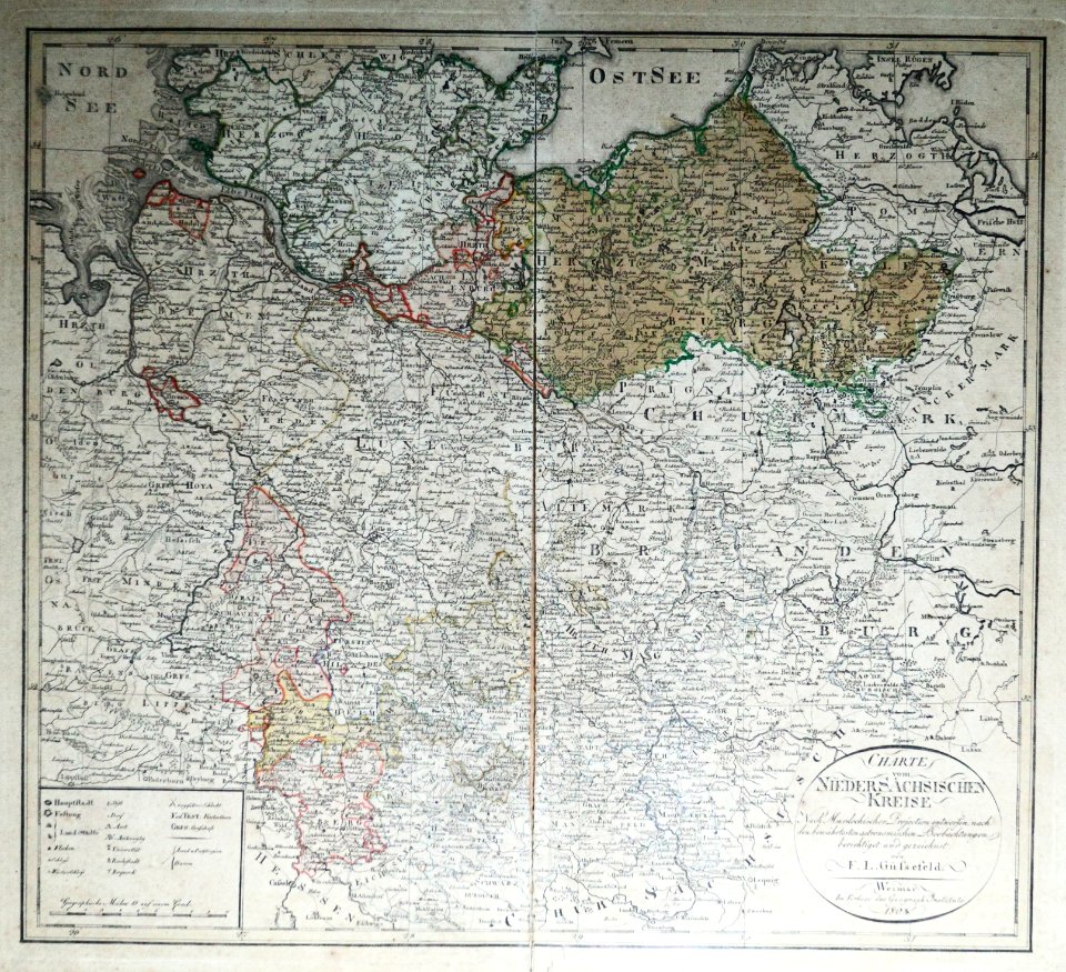
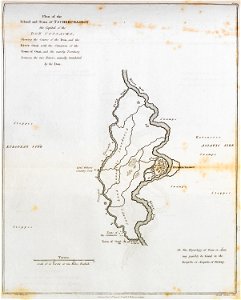
maps of territories in the lower saxony circle
19th-century maps of lower saxony
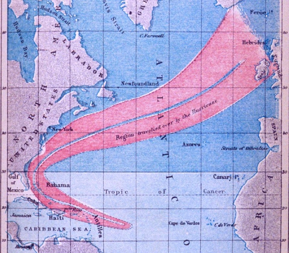
maps of atlantic hurricane paths
19th-century atlantic hurricanes
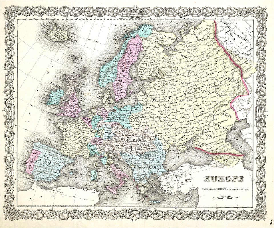
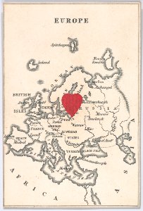
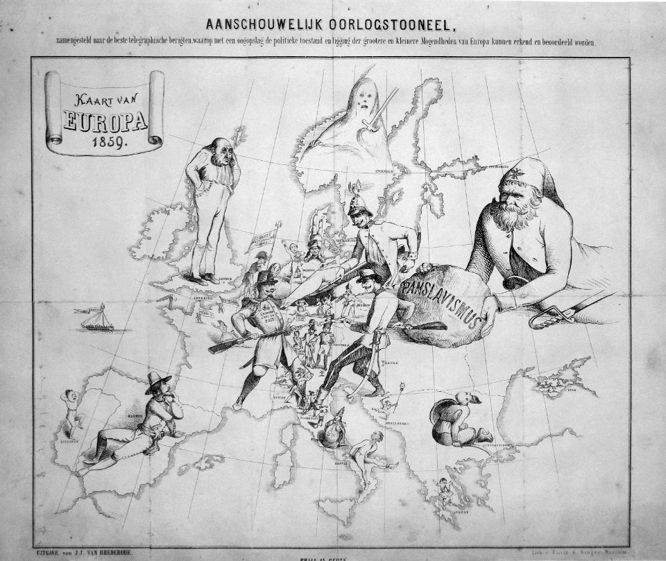
19th-century maps of europe
1855 maps
19th-century maps of europe
english-language maps
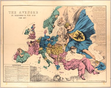
19th-century satirical maps
1870 maps of europe
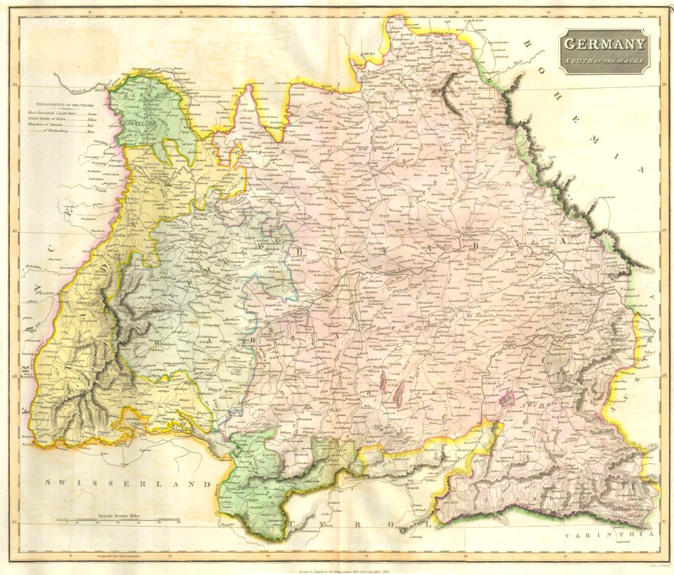
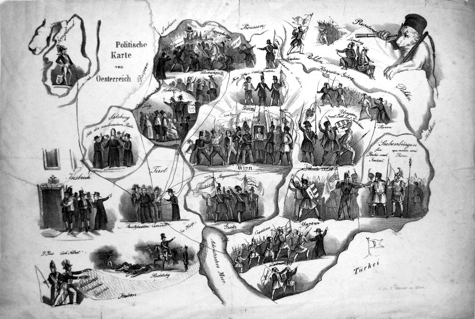
19th-century maps of bavaria
1814 maps
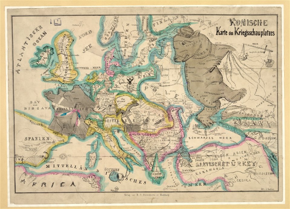
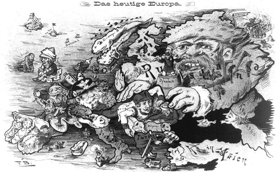
19th-century satirical maps
europe in the 1870s
maps by john thomson
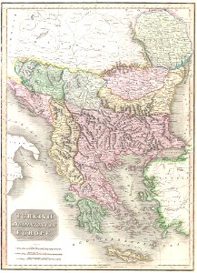
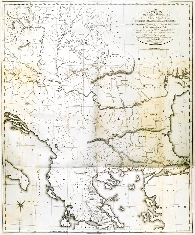
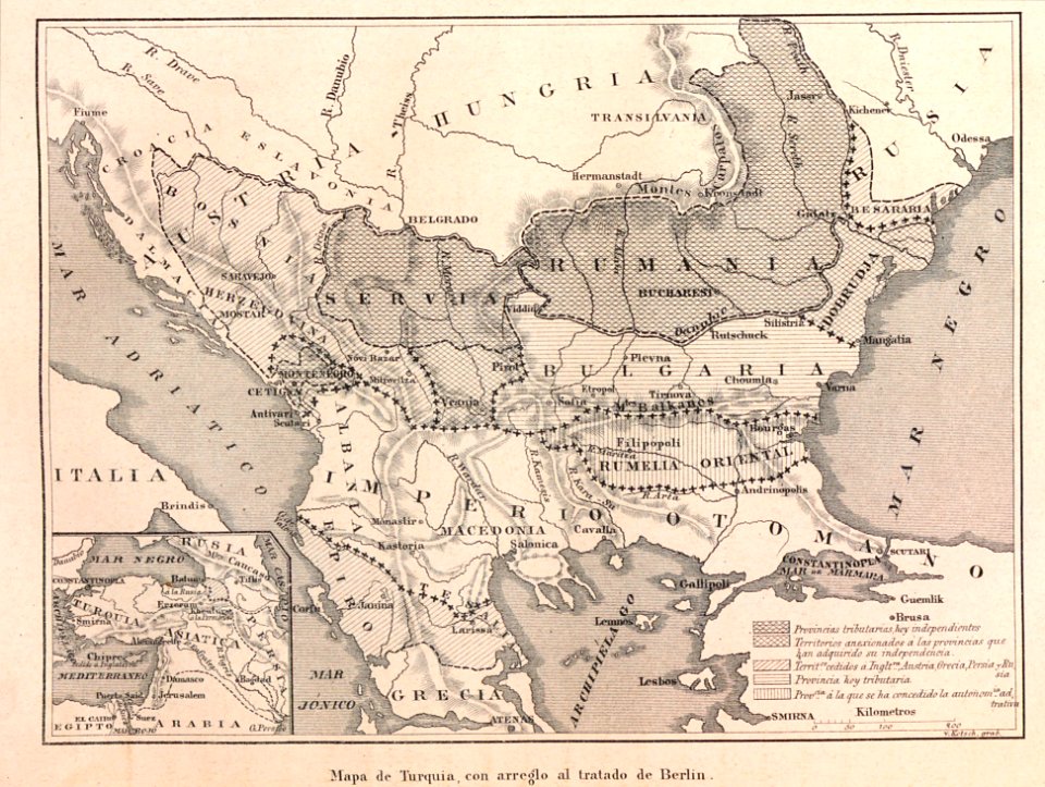
old maps of turkey
19th-century satirical maps
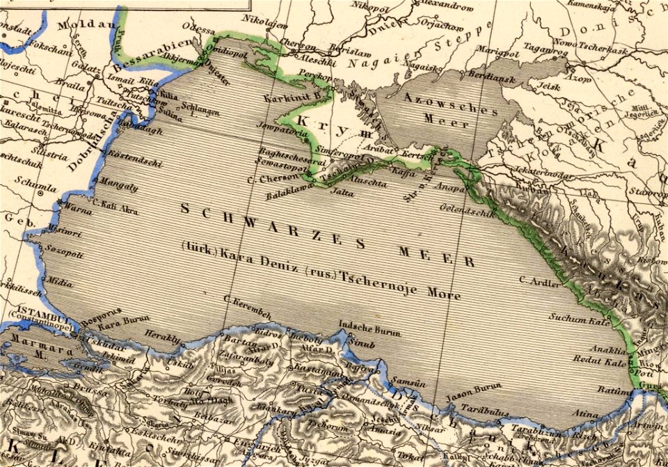
maps of crimean war
19th-century satirical maps
augusto grossi
old maps of greece
old maps of turkey
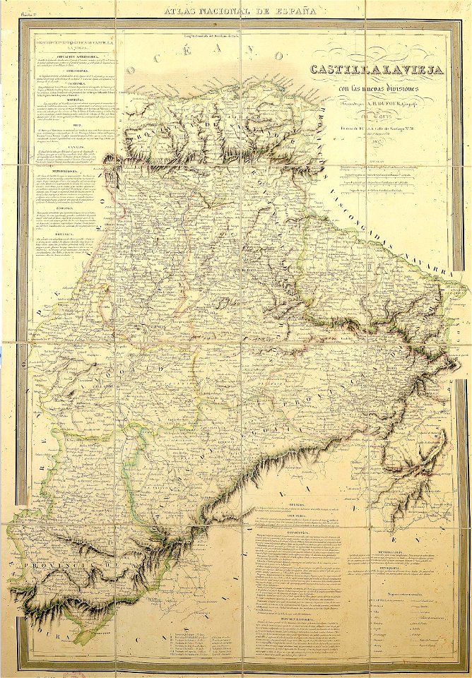
la rioja (spain) in the 19th century
cantabria in the 19th century
caricatures of wilhelm ii of germany
cornell university library
maps of the ottoman empire in the 19th century
maps by joseph hutchins colton
19th-century satirical maps
europe in the 1870s
maps of the sea of marmara
colossus of rhodes
german-language maps showing history of europe
david rumsey historical map collection
caricatures of wilhelm ii of germany
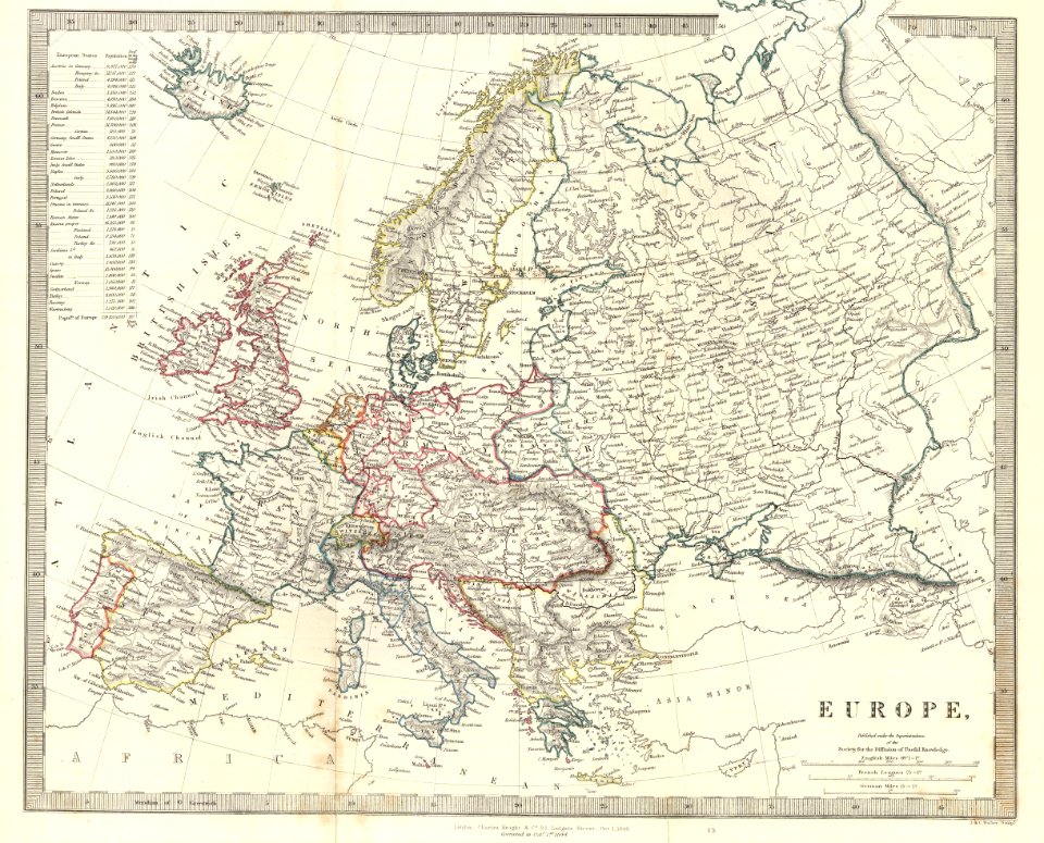
19th-century maps of europe
don in rostov oblast
novocherkassk
19th-century maps of europe
aces of hearts
russo-turkish war (1877–1878)
old maps of europe
franco-prussian war
prussia
historical
history
historical
history
historical
history
historical
history
historical
history
historical
history
historical
history
travel
maps
travel
maps
travel
maps
travel
maps
1 - 33 of 33
/ 1